

Build Your Optical Earth Observation Satellite
Good enough isn’t good enough. To gain an edge on the competition, you need high pointing accuracy and stability for sophisticated passive and active EO instruments. Comprehensive and up-to-date information on the Earth's conditions means actionable insights to capitalize on your business case.
Adaptable
Satellites for Earth Observation & Remote Sensing Missions

OUR BASELINE CONFIGURATIONShift is our starting point for all of our satellite configurations - especially those customer missions that don’t fit into a normal box. We craft high-performance satellite platforms, each one tailor-made, each one adapted around your payload and mission needs.
Best for when your mission profile doesn’t fit into a normal box
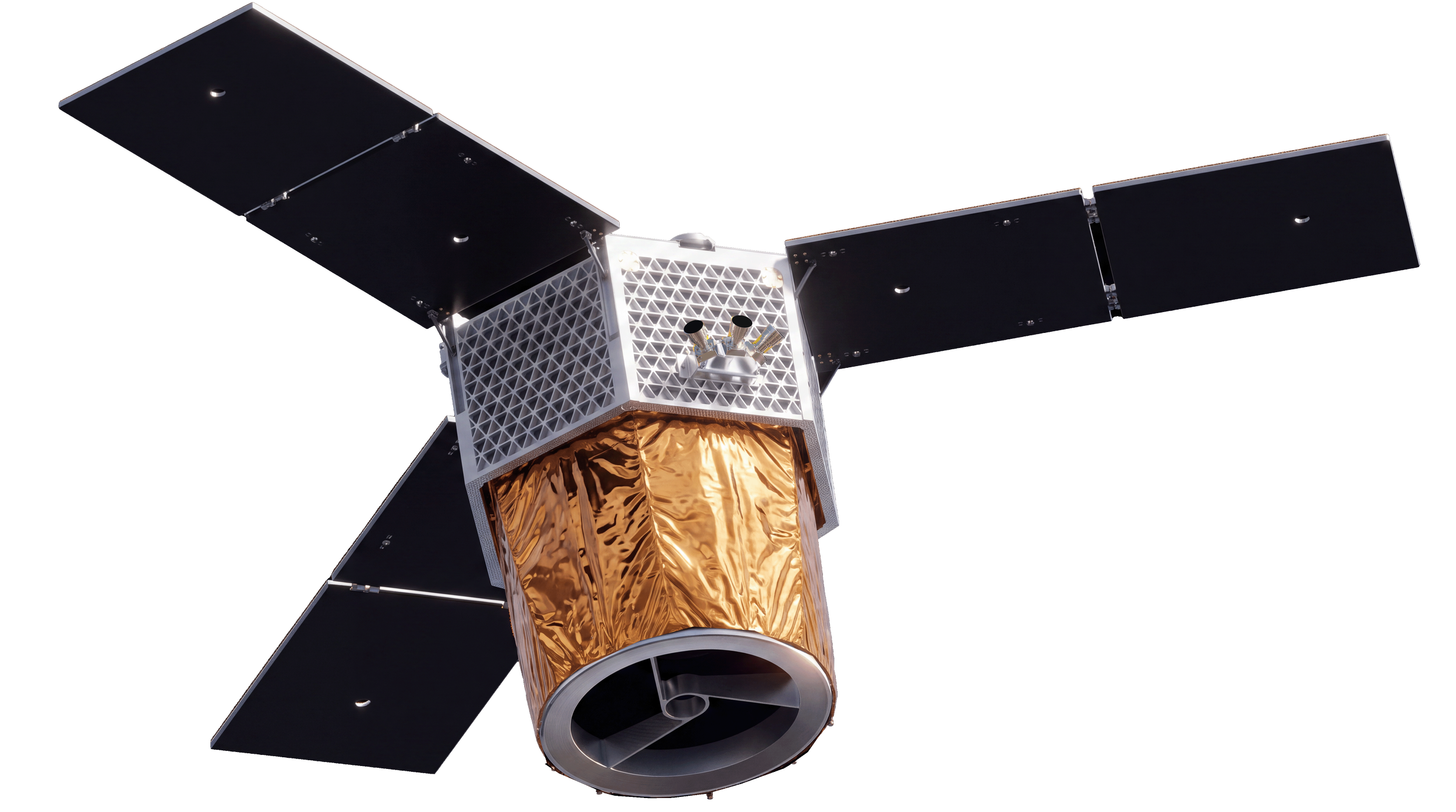
HIGH RESOLUTION EARTH OBSERVATION SOLUTIONYour mission demands exceptional imagery. Reflex’s Vision platform pairs seamlessly with the optical payload of your choice. Whether you bring your own or leverage a solution from one of our trusted partners, the result is superior performance, crystal-clear resolution, and the flexibility of a platform designed to meet your mission objectives with confidence.
BEST for VIS, Multispectral, IR, or LiDAR payloadsOptical Earth Observation Satellites

What Are Optical Earth Observation Satellites?
Optical Earth observation satellites use visible and near-infrared light to capture detailed images of the Earth's surface. They provide natural-color imagery similar to what the human eye sees, enabling accurate visual analysis of terrain, vegetation, water bodies, and urban areas. However, the largest flaw in an optical earth observation satellite is that it is limited by weather. If you are looking for imagery that shows you the real world view, then an Optical EO satellite is for you. But if you need to see imagery in all weather conditions, day or night, consider a radar satellite or SAR.

Why Optical Imaging Matters
High Spatial Resolution: Detect fine surface details for better decision-making when utilizing your data.
Daylight Clarity: Capture true-color photos showing earth changes under daylight conditions.
Actionable Data: Support mapping, monitoring, and mission planning.
Commercial & Government Use: A medium that is trusted by government agencies and corporations worldwide.
Tailored to Your Mission
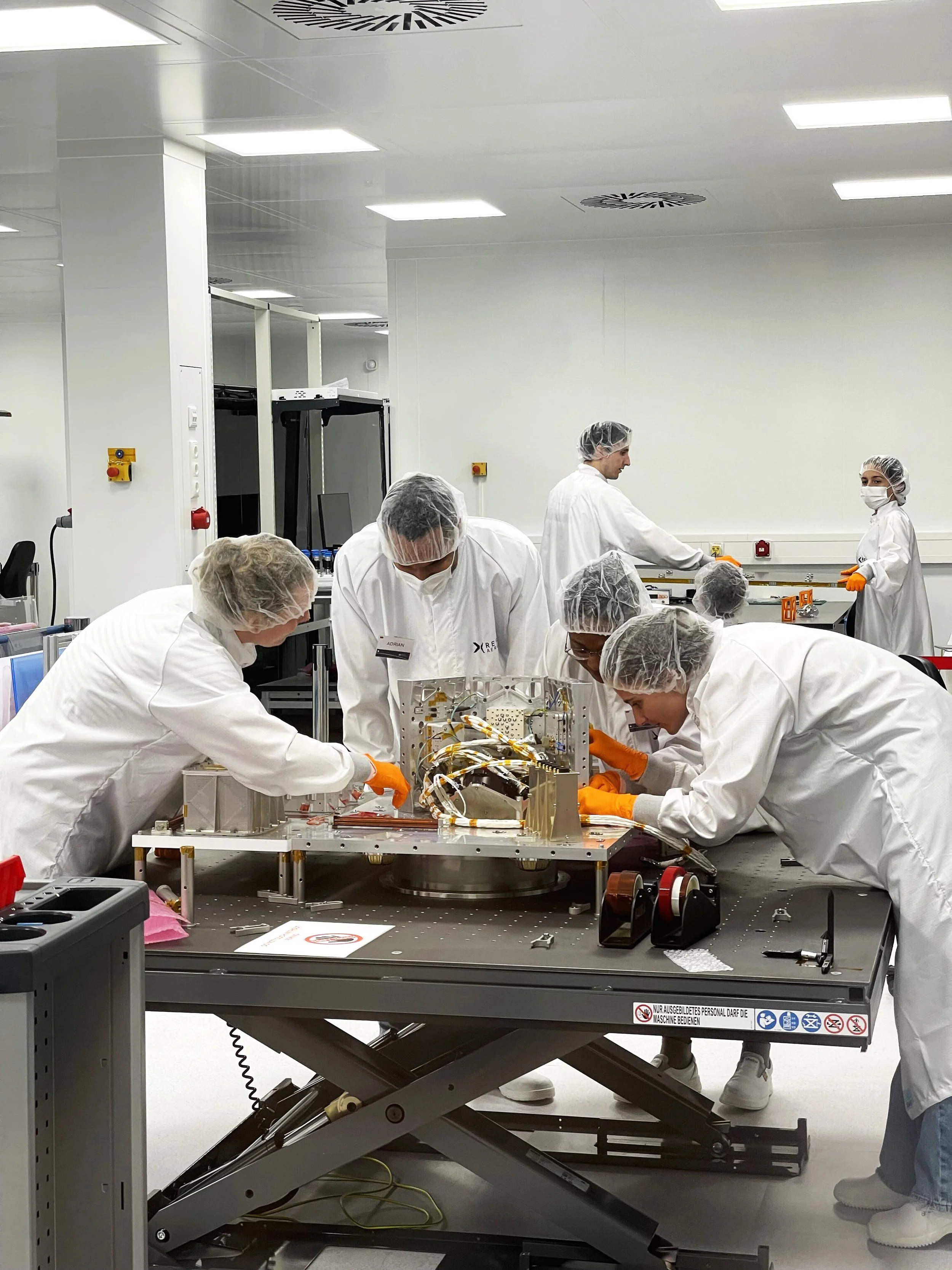
At Reflex Aerospace, we design and build custom optical satellite platforms that meet your specific observation goals. Whether you need real-time imaging, rapid revisit rates, or secure data handling, we optimize performance to your requirements.
Applications Include:
Environmental monitoring and climate adaptation
Disaster management
Maritime monitoring and border control
Agriculture and Forestry
Intelligence, Surveillance, Reconnaissance
Infrastructure monitoring