
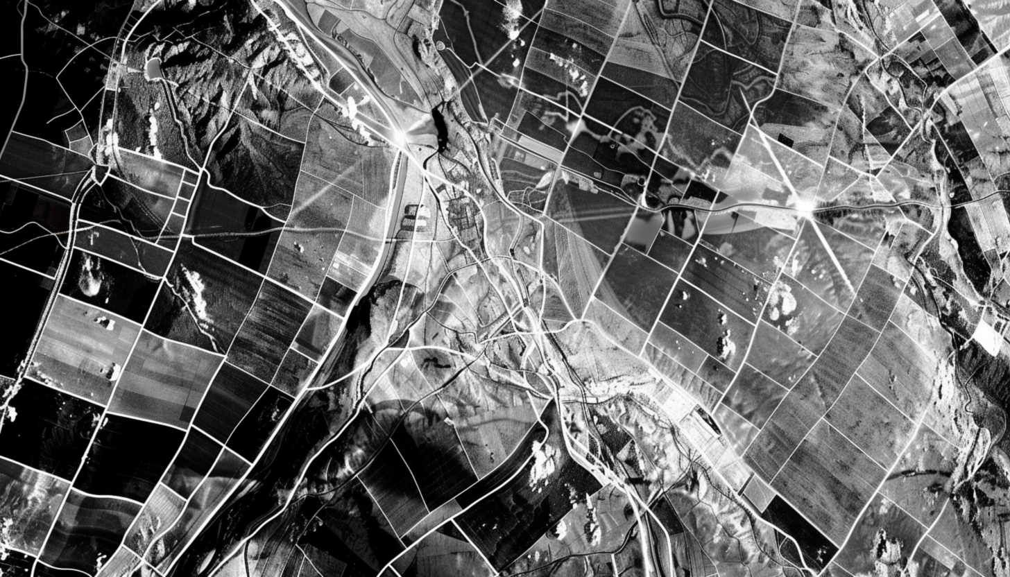
SAR Satellite for All-Weather Earth Observation
Synthetic Aperture Radar (SAR) satellites provide remote sensing solutions for all-weather, 24/7 imaging. Unlike optical sensors, SAR satellite technology penetrates clouds, smog, and foliage, making it ideal for precision mapping, disaster response, and resource monitoring. Key applications include deforestation monitoring, ice tracking, natural disaster assessment, and defense applications. What are the benefits of SAR? SAR provides consistent imaging regardless of weather conditions or time of day.
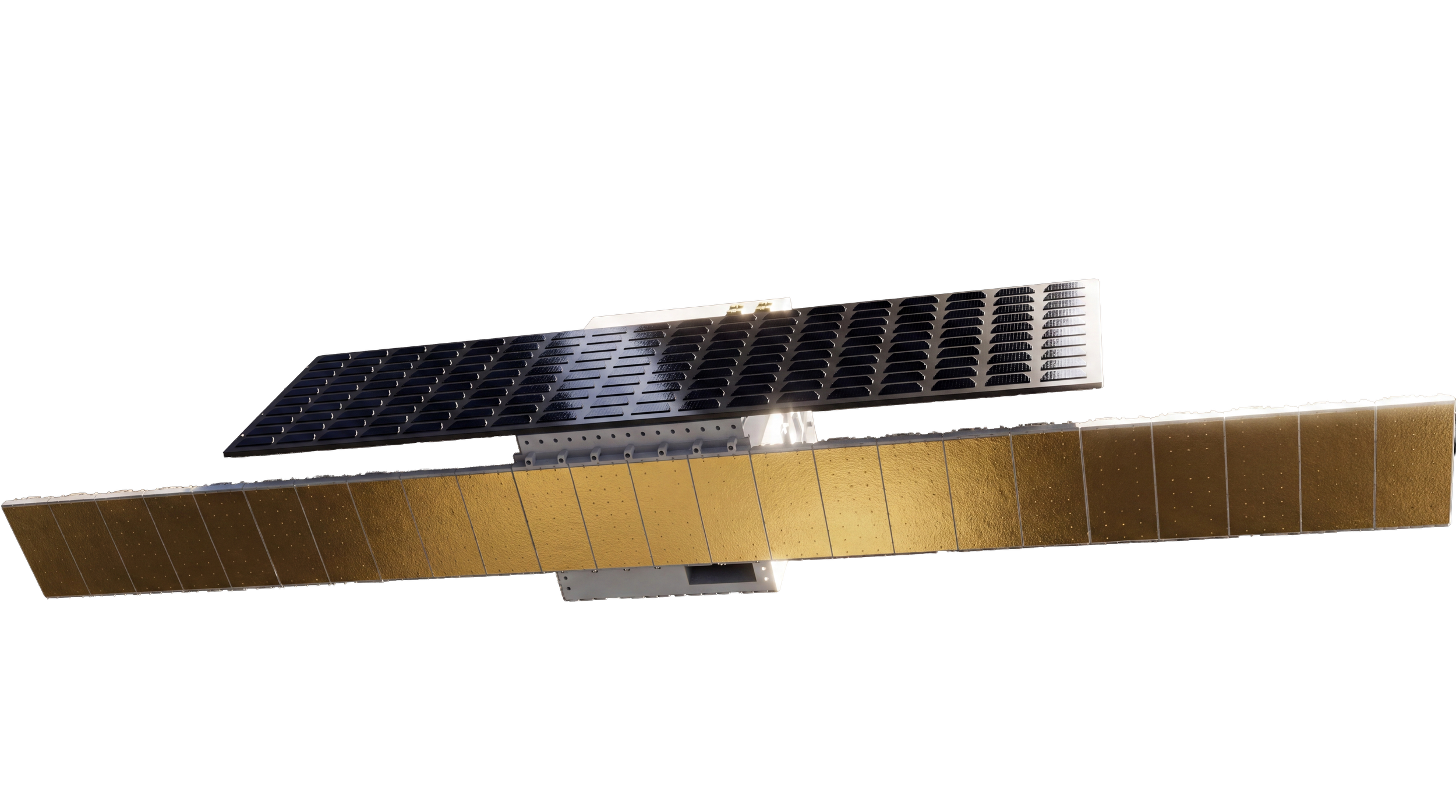
European-Built SAR Satellite Solutions

OUR BASELINE CONFIGURATIONShift is our starting point for all of our satellite configurations - especially those customer missions that don’t fit into a normal box. We craft high-performance satellite platforms, each one tailor-made, each one adapted around your payload and mission needs.
Best for when your mission profile doesn’t fit into a normal box
SYNTHETIC APERTURE RADAR SOLUTIONReflex’s satellite platform, in combination with an a variety of SAR payload options, offers a synthetic aperture radar solution critical for Earth observation missions. Achieve high-resolution imaging with 24/7 monitoring in all weather conditions, delivered in months, not years.
COMPATIBLE WITH ALL Parabolic or Phased Array SAR AntennasSAR (Synthetic Aperture Radar) Satellites
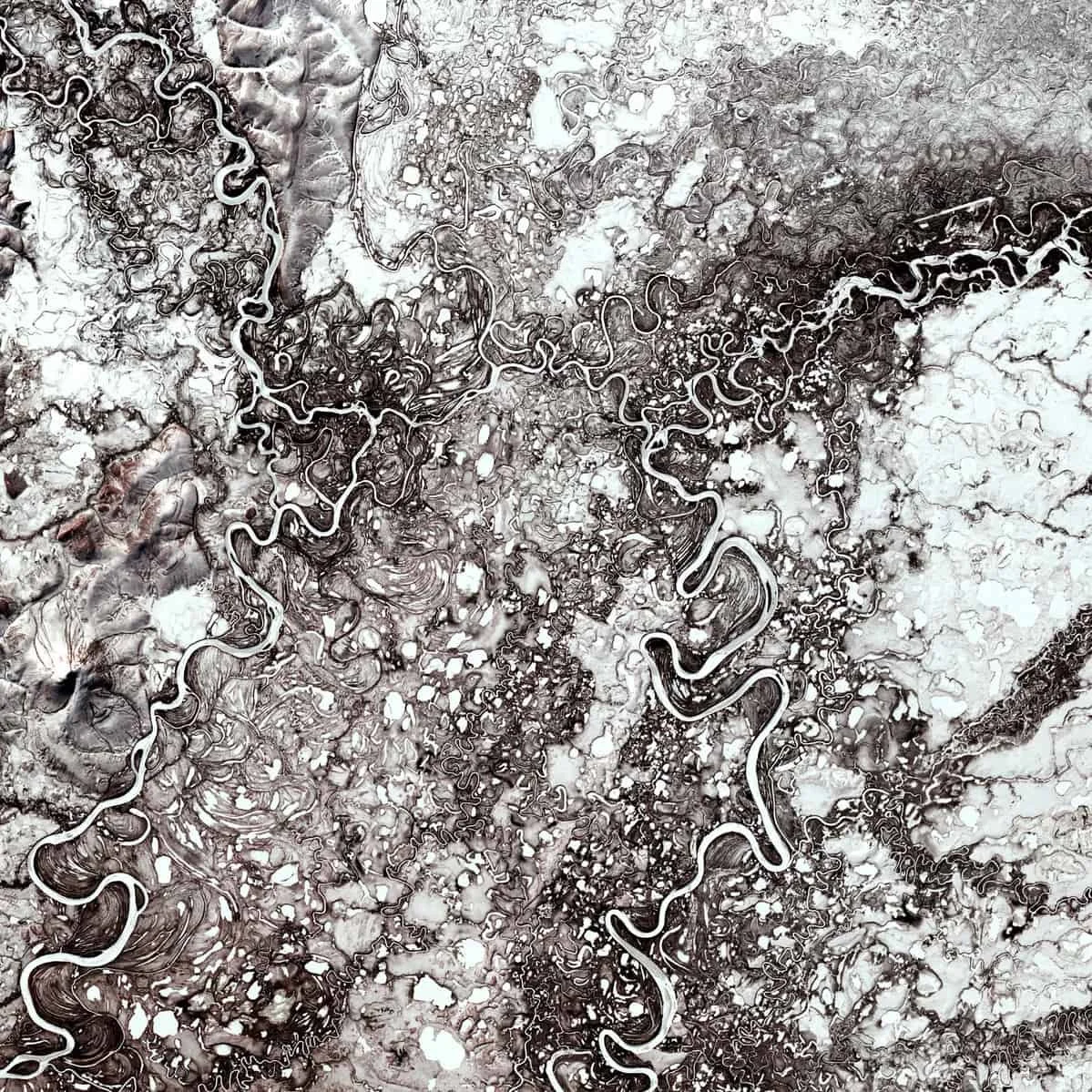
What Are SAR Satellites?
SAR (Synthetic Aperture Radar) satellites use radar imaging to deliver reliable, high-resolution data in all weather conditions where optical earth observation satellite systems fall short. From infrastructure monitoring to defense and disaster response, SAR provides mission-critical insight in all conditions. SAR satellites use active radar sensors to capture surface imagery by emitting microwave signals and measuring their reflections. Unlike optical earth observation satellite systems, SAR works in darkness, through clouds, smoke, and rain—making it ideal for consistent Earth observation.
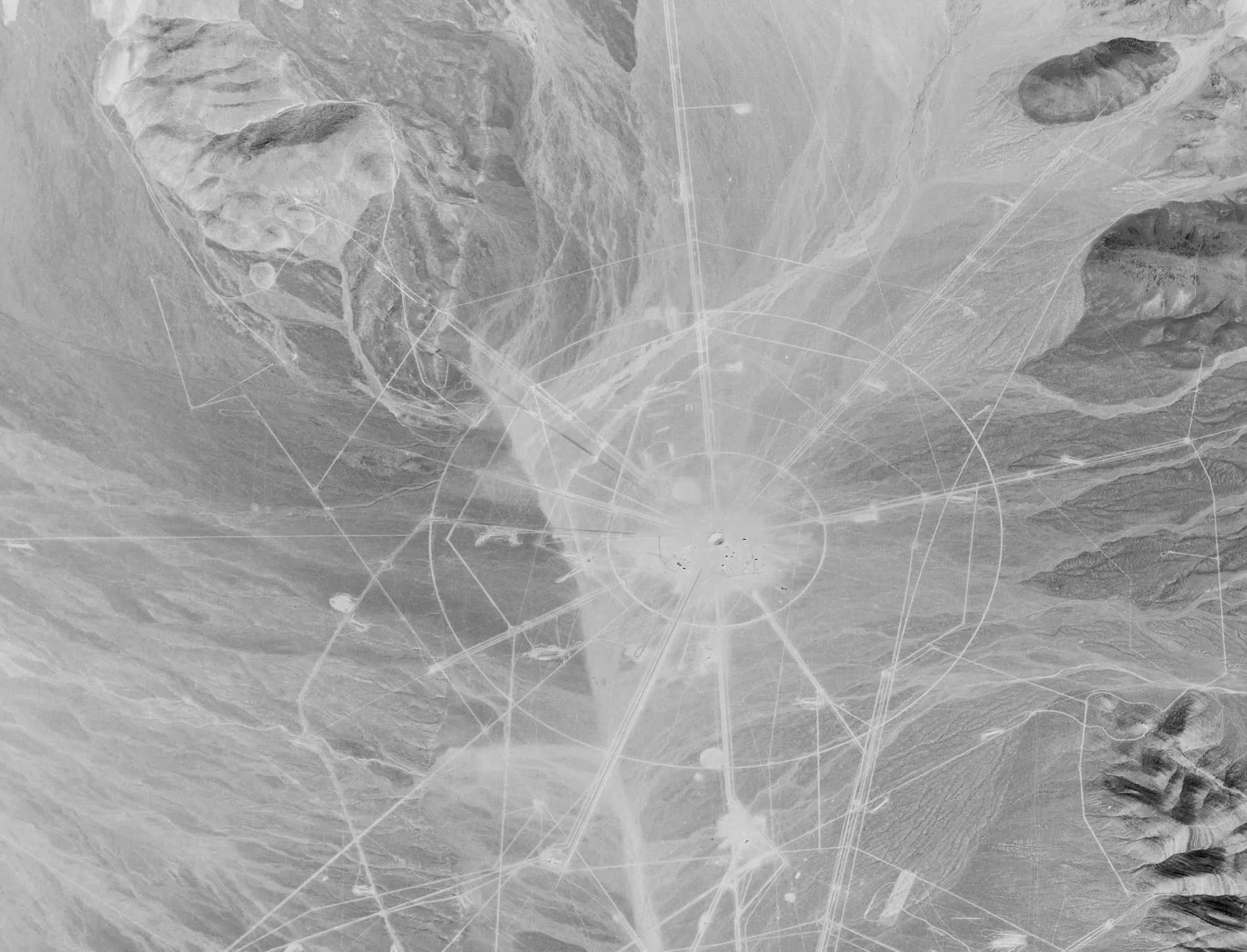
Why You Should Choose a SAR Satellite
All-Weather, Day/Night Coverage: Maintain visibility even in low-light or poor weather.
Surface Deformation Detection: Measure environmental subsidence, landslides, or structural shifts with millimeter precision.
Change Detection & Monitoring: Identify changes over time, even when they’re not visible to the eye.
Persistent Surveillance: Monitor assets and regions of interest without disruption.
Built for Resilience and Precision
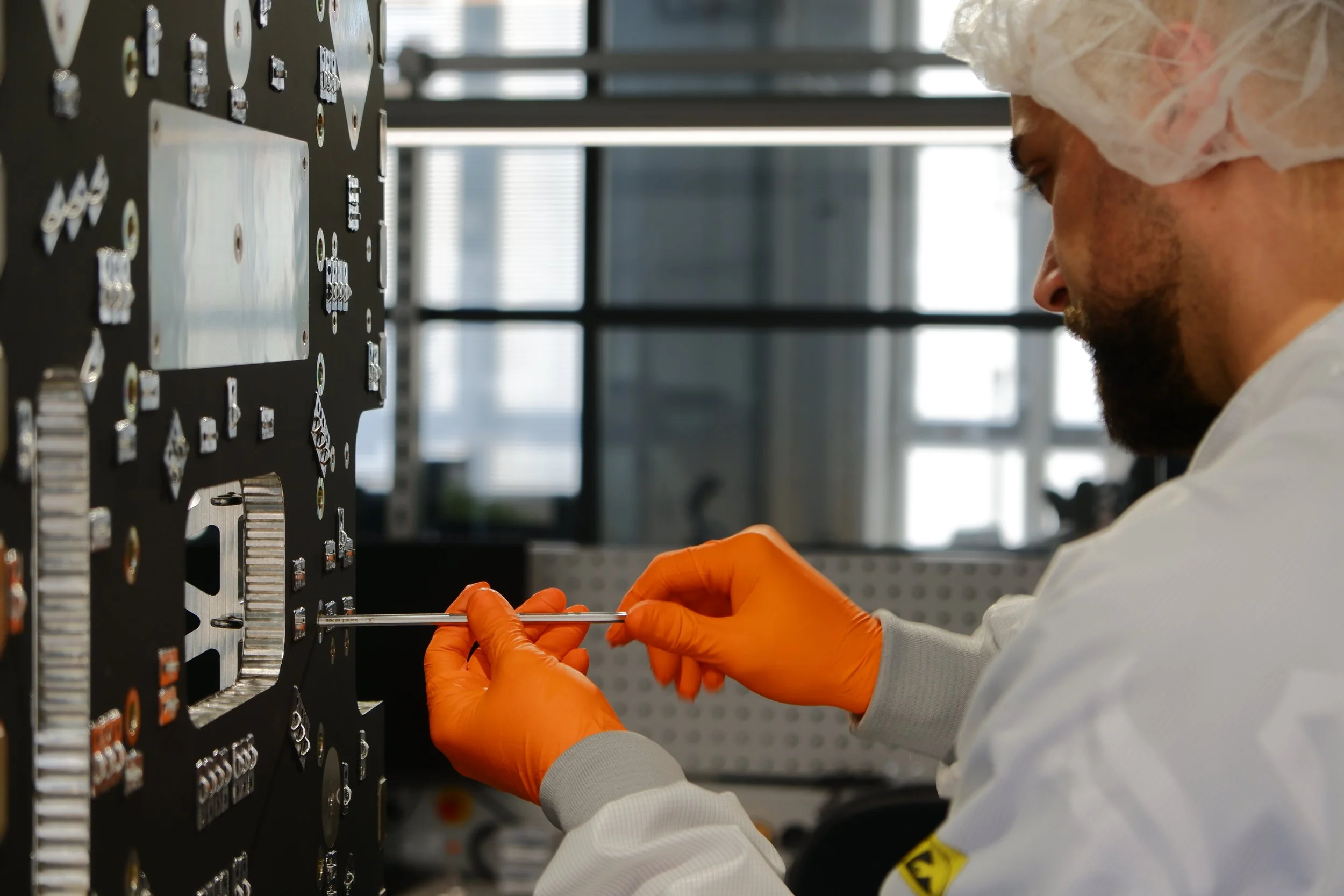
Reflex Aerospace designs SAR satellite platforms custom-built for your specific imaging needs. Whether you require wide-area synthetic aperture radar scans, high-resolution spot modes, or rapid revisit SAR missions, our modular systems support a range of payload sizes, radar bands, and power configurations. While other platforms require you to compromise, we provide you with exactly what you need for your mission objectives.
Applications Include:
Infrastructure & pipeline monitoring
Maritime domain awareness
Sovereign border and defense surveillance
Environmental change tracking
Natural disaster impact analysis